MA+KE Has a Lidar Scanner!!!! #nerdalert
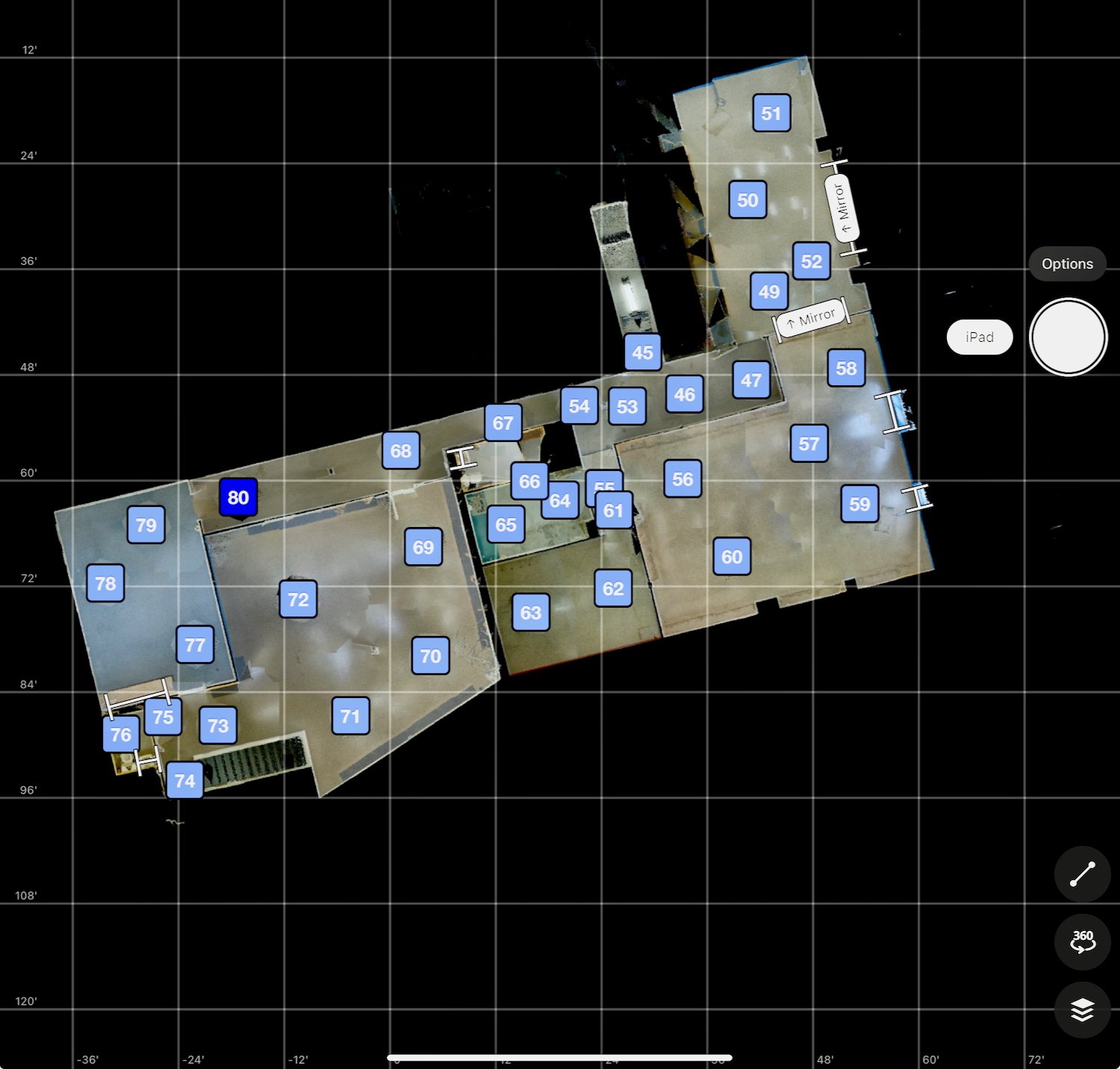
Our team is so excited about our new Lidar (laser imaging, detection, and ranging) scanner! It requires less manpower, offers more accuracy, and allows us to collect even more detailed information for documenting existing conditions. We can also use it to create a 3D virtual walkthrough and document construction progress and infrastructure as projects are under construction.
Here’s what it means to our process:
We can more quickly and efficiently gather existing conditions documentation for renovation and addition projects.
Speed and reduced manpower - in order to obtain existing conditions measurements we typically sent 2 to 3 people out to a building/house to sketch up diagrams and take measurements locating the walls, doors, windows, ceiling heights, stairs, floor to floor heights, wall thicknesses, locations of exposed columns, roof pitches, changes in floor elevations and distance from the main floor to the exterior grades, plus a bunch of other stuff. This often took between 3 and 6 hours (x 3 people).
Capturing more information - now we can send one person to a site and they will be able to capture all of the information outlined above plus lots more stuff including the location of all outlets, switches and light fixtures and ceiling information as well as building elements that are not easy to reach like roof overhangs and trim profiles.
3D Virtual Walkthrough of Existing Conditions - previously we took an extensive number of photographs so that we could refer to them while we were drawing the 3D Digital Model of the existing building/home. Now the scanner creates a 3D Virtual Walkthrough of the building/home and we can see everything and anything that was visible. And we can even obtain additional dimensions from the 3D Virtual Walkthrough.
Sharing more information with Clients and Contractors - we are now able to provide the 3D Virtual Walkthrough via an internet link to anyone involved in the project so they can improve their familiarity with the project and refer to the information on demand. Example of 3D Virtual Walkthrough
The scanner provides us with a highly accurate “point cloud” of the building/home that we can use to create the 3D Digital Model of the existing building/home. Because we no longer will be using field dimensions taken by using a tape measure (with sags) or a laser pointer (not always level) the accuracy will be significantly higher and the time to create the model will be reduced.
During construction we can scan the project to show progress at specific points in time. We will probably only do this when the mechanical, electrical and plumbing has been roughed in and prior to all of this being covered by the wall finishes. This will provide our clients with a very good record of where all the wires and pipes are located that they can refer to in the future if they want to do any additional work or a problem arises.
We will be able to accurately align Before and After images of the project. This scanner can even scan outdoors in daylight. In the past this has been a real deficiency of 3D scanners.


